Le Refugi

on www.france-balades.fr |

|
|
|
Publicité
|
Map and DirectionsBycar Planès is locatedat the end of highway D32, 5 km from Mont Louis and from the Col dela Perche. Road access is easy from Toulouse, via the Puymorenstunnel (2. 5 hours), from Barcelona, via the Cadí Tunnel (2. 5hours), or from Perpignan, via highway N116 (1. 5 hours). The Orri is located in theupper part of town, above the hamlet called Cases del Mitg and acrossfrom the cheese farm and the church. From the entry to town, signsindicate the way to the lodge. gps: Longitude 2º 08' 18 E (decimal degrees:2. 13835º E) Latitude 42º 29' 28 N (decimal degrees:42. 49105º N) By train The village's trainstation is on the Yellow Train line, which connects Villefranche duConflent (and Perpignan) with La Tour de Querol (and Toulouse orBarcelona). Yellow train passengers should advise the conductor thatthey want to get off at the Planès station, as it is anoptional stop for all trains. Important note: The train station islocated in the middle of the forest, at the end of a dirt road, andis not accessible by car. Planès is a 20 minute walk up thevalley from the train line. If you plan to come by train and to walkto the Orri, we highly reccommend that you bring a backpack insteadof a suitcase! By bus It'spossible to get to Mont Louis on a regional bus for only 1 euro (line260 from Perpignan and lines 260a and 260b from the Tour de Carol). Fromthe bus stop in Mont Louis, you can walk to the Orri in less than anhour by going down the hill to the village of La Cabanasse and thentaking the gr10 or continuing on highway D-32 to Planès. It isalso possible to take a taxi from Mont Louis (total distance 5 km). |      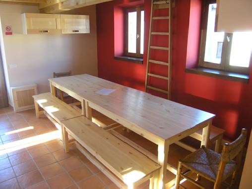          |